Hikers’ most frequently asked questions
The Ngaro Track is Australia’s newest multi-day hike, located in the Whitsunday islands – the 100 Magic Miles, as we call them, as they cover 100 magically scenic nautical miles between Bowen and Mackay, just off the central coast of Queensland.
If you’re wondering if the Ngaro Track is right for your next hiking adventure, we have rounded up the most frequently asked questions about the Track to help you decide. We bring together official sources of information with our own experience of walking the Track, plus tips from other hikers and local experts to give you the ultimate rundown.
What is the Ngaro Track?
The Ngaro Track is a 3 day / 2 night hike across Whitsunday Island, the largest of what are officially known as the Cumberland Islands, now more popularly known as ‘the Whitsundays’. It is in the Whitsunday Islands National Park, managed by Queensland Parks & Wildlife Service.
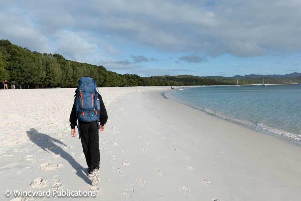
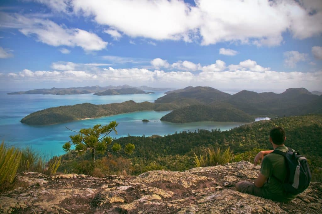
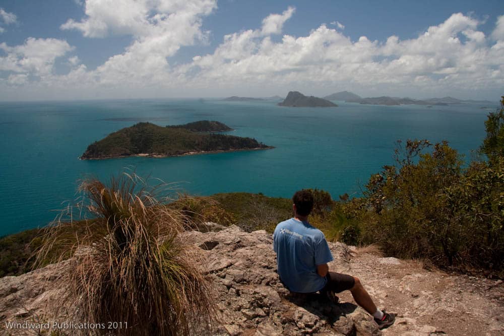
It’s Australia’s newest multi-day hike, with the first walkers completing it in April 2026. It encompasses white sand beaches, woodland, palm forest, heathland, rocky outcrops and mangroves, and spectacular vistas across island seascapes and iconic Hill Inlet.
How long is the Ngaro Track?
Officially the Ngaro Track is advertised as being a 32km walk on the Queensland Parks and Wildlife website and the official Ngaro Track website.
However this doesn’t fully account for the walking from the drop-off location to the official start point, and from the official end point to the pick-up location, which brings the total distance we recorded on the ground to 34.2km–35.4km, depending on whether you do an optional ‘offshoot’ to Murmuri bari (Round Rock) on Day 3. This special spot is a highlight – we really recommend doing this and it only adds 1.2km to the overall distance.
Here’s a breakdown of the official distances by day and in total, compared with distances recorded by ourselves and other hikers walking the track:
| Ngaro Track Website | Hiker-Recorded Distance | |
|---|---|---|
| Day 1 | 8.7km | 9.5km |
| Day 2 | 10.8km | 10.5km |
| Day 3 without Murmuri bari (Round Rock) | 12.8km | 14.2km |
| Day 3 with Murmuri bari (Round Rock) adds 1.2km | 14km | 15.4km |
| Total without Murmuri bari (Round Rock) | 32.3km | 34.2km |
| Total with Murmuri bari (Round Rock) | 33.5km | 35.4km |
How hard is the Ngaro Track?
The Ngaro Track is mostly a Grade 4 walk, with some easier Grade 3 stretches at the start and finish, and a Grade 5 section over the highest point of the walk, Whitsunday Craig, which includes some sturdy ladders with handrails and some steps.
Hikers who are fit with prior walking and camping experience are finding it manageable and it seems that for many it is their first or second multi-day hike, being shorter than some others in Australia and in a mild climate.
For most hikers, the hardest part is not so much the walk and the terrain, it’s the carrying of a full backpack whilst doing it. See more below.
How much do you have to carry on the Ngaro Track?
Unlike some other multi-day hikes in Australia, there is no hut accommodation on the Track so you’ll need to bring all your camping equipment with you, unless you choose the Ngaro Track Walk In Comfort Guided Hike.
Here’s an overview of the official advice on how much to expect to carry, and what you could reduce this to if you pack lightweight:
| Pack Weight (Official Advice) | Pack Weight (Lightweight) | |
|---|---|---|
| Independent Hiking | 12–18kg | 10–14kg |
| Guided Full Pack | 12–18kg | 10–14kg |
| Guided In Comfort | 8–10kg | 5–8kg |
Check out our article Packing for the Ngaro Track – A Step by Step Guide for lots of tips from us and other hikers about what to bring and what you can leave behind.
For the Ngaro Track Walk In Comfort Guided Hike we have confirmed that hikers do not need to carry tents, sleeping mats, or cooking equipment. They do need to carry their sleeping bag, provided snack bag, a small portion of fresh food for the group, water, and personal items (headtorch, clothes, toiletries).
How do you get to the Ngaro Track?
The Ngaro Track is on Whitsunday Island, which is approximately 25km off Queensland’s central coast. It is accessible by boat only, although scenic flights by seaplane or helicopter do also land at Whitehaven Beach.
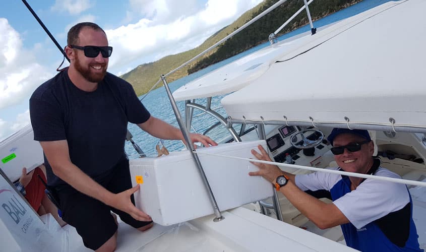
The best way for hikers to reach the Ngaro Track start point is by boat transfer with Scamper, the preferred transfer operator. Scamper is a transfer service specialising in transporting walkers, campers, kayakers and bike riders from Shute Harbour, just south of Airlie Beach, to the islands. They deservedly have a great reputation for their local knowledge, skill and customer service.
Independent hikers must book their transfers separately themselves after booking their Ngaro Track hike. Look for their return package deal for a discounted rate. See more below.
Guided hikers have their transfers with Scamper included in the cost of their hike booking. It’s important to note that guided hikers have a mandatory briefing in Airlie Beach the afternoon prior to their hike.
How much does it cost to walk the Ngaro Track?
Bookings are essential to hike the Ngaro Track and the number of walkers is strictly limited to 15 per day to protect the pristine island ecosystem and at the request of the Ngaro traditional owners.
For independent hikers, your booking fee covers your camping permits but you must organise your boat transfers to Whitsunday Island separately – it’s best to do this with Scamper, the preferred transfer operator.
For guided hikers, your booking fee covers your camping permits, boat transfers and guides. There are two guided options to choose from:
- Ngaro Track Full Pack Guided Hike – self-catering and carrying your full pack with experienced guides
- Ngaro Track Walk In Comfort Guided Hike – catered and camping set up for you, carrying a smaller pack with experienced guides
Here’s how the costs breakdown per person:
| Booking Fee | Transfer Fee | Total | |
|---|---|---|---|
| Independent Hiking | $150 | $323 | $473 |
| Guided Full Pack | $1,795 | Included in Booking | $1,795 |
| Guided In Comfort | $2,295 | Included in Booking | $2,295 |
Important:
- The costs above are correct as at 24/06/2026 but are subject to change and can be verified on the official Ngaro Track website (for independent hikers) and the Australian Walking Holidays website (for guided options)
- Transfer fee is return transfer package with Scamper, the recommended transfer operator, and includes a $2.50 per person jetty fee and a booking fee of approx $16
- For children aged 2–14 years Scamper’s return transfer package is $190
- Guided options include Scamper’s transfer fees in the booking fee
Additional costs to consider are of course your travel to and from the Whitsundays and accommodation for the night before and after your trip (at least).
When is the best time to walk the Ngaro Track?
The best time of year is already chosen for you, with the Track only being open between April and October. This is the cooler, drier months in the Whitsundays that are more suitable for walking.
There is some slight variation in temperatures and average rainfall across April to October:
| Statistics | Apr | May | Jun | Jul | Aug | Sep | Oct |
|---|---|---|---|---|---|---|---|
| Max. Temp (°C) | 27.1 | 24.8 | 22.4 | 21.9 | 22.9 | 25.4 | 27.6 |
| Min. Temp (°C) | 22.6 | 20.8 | 18.4 | 17.6 | 18.1 | 19.8 | 21.8 |
| Ave. Rain (mm) | 192.1 | 122.1 | 80.5 | 64.8 | 39.6 | 25.8 | 38.3 |
| Wet Days | 13.2 | 11.9 | 8.2 | 6.1 | 4.9 | 3.1 | 4.5 |
Source: Bureau of Meteorology. Wet Days = the number of days in the month with more than 1mm rain.
Exactly when you choose comes down to personal preference and booking availability. Some hikers enjoy the slightly warmer temperatures of April/May or September/October, whereas others like the coolest months of June/July/August.
“We deliberately chose winter for several reasons, and we’d make the same decision again,” said hiker Sarah, who walked the Track with her family in July. “The cooler temperatures made walking far more comfortable than warmer months. We also liked the idea that snakes are generally less active during winter.”
How much time should you allow for your Ngaro Track trip?
The absolute minimum is 5 days. You will need to arrive in Airlie Beach the day before you begin the Ngaro Track as check-in with Scamper for the boat transfer is typically around 6.30am at Shute Harbour, 10 minutes’ drive south of Airlie Beach.
Note that for guided hikes, there is a mandatory briefing in Airlie Beach the afternoon before the hike begins.
- Day 1: Arrive Airlie Beach, mandatory briefing for guided hikers, stay overnight
- Day 2: Around 6.30am check in / 7am departure from Shute Harbour to Whitsunday Island, first day of the Ngaro Track hike + camping overnight
- Day 3: Second day of the Ngaro Track hike + camping overnight
- Day 4: Third day of the Ngaro Track hike, arriving back to Shute Harbour around 5–6pm, stay overnight
- Day 5: Depart Airlie Beach
We would recommend allowing more time – having a relaxing day or two (or five!) after the hike is well worth it. It gives you some recovery time and a well-deserved chance to celebrate your achievement. During the challenging moments of the hike, having something to look forward to is a big motivator, whether that’s a restaurant meal, some downtime by the pool or just the joy of a lazy day in a tropical clime.
It’s easy to combine hiking the Ngaro Track with a resort island stay too. The day after your arrive back to Airlie Beach, you can take a ferry or transfer to stay at the resorts on Hamilton Island, Daydream Island, Hayman Island or Long Island. All resort stays and ferries/transfers must of course be pre-booked.
Why are others choosing to hike the Ngaro Track?
For semi-retired couple Narelle and Bill from Rockhampton, hiking the Ngaro Track was a special way of marking a milestone birthday. “I was thinking about how we could celebrate my husband’s upcoming 60th birthday,” said Narelle, “when up popped the Ngaro Track on the National Parks Facebook page. As soon as I read the details I knew straight away how much we’d both enjoy this hike and what a wonderful adventure it would be to look back on in years to come. It advertised everything we loved, such as bushwalking with magnificent views in a tropical location, not too far from home. Bill’s birthday fell in July, during the school holidays and would be the perfect time of the year for hiking in a Northern climate.”
“I knew what a wonderful adventure it would be to look back on in years to come. It advertised everything we loved, such as bushwalking with magnificent views in a tropical location.” – Narelle, Ngaro Track hiker
For mum Kat, the Ngaro Track was a way to meet up with a friend who lives in this part of Queensland and introduce their sons to multi-day hiking together. “My friend who lives up that way has a 10 year old boy who is best buds with my 9 year old. We thought it would be a good first multi-day hike for the boys. At camp they just played and enjoyed each other’s company which meant I could also enjoy my friend’s company.”
For Sarah and her family from Sydney, the Ngaro Track was a perfect family adventure for the winter school holidays. “We were looking for something that would be challenging enough to feel like an adventure, but not so difficult that it became miserable and overshadowed what we hoped would be a positive family experience.”
What other walks are in the Whitsunday islands and around Airlie Beach?
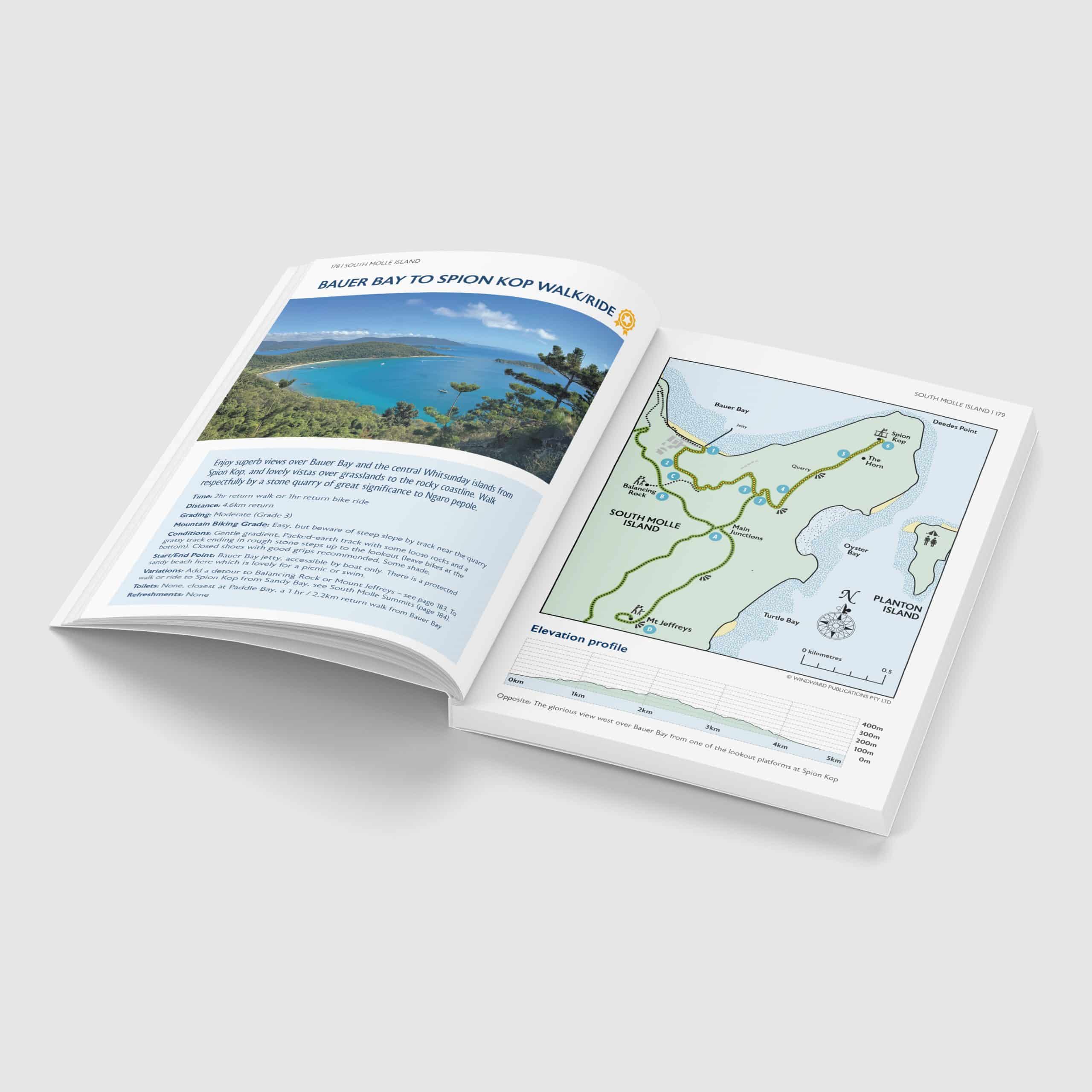
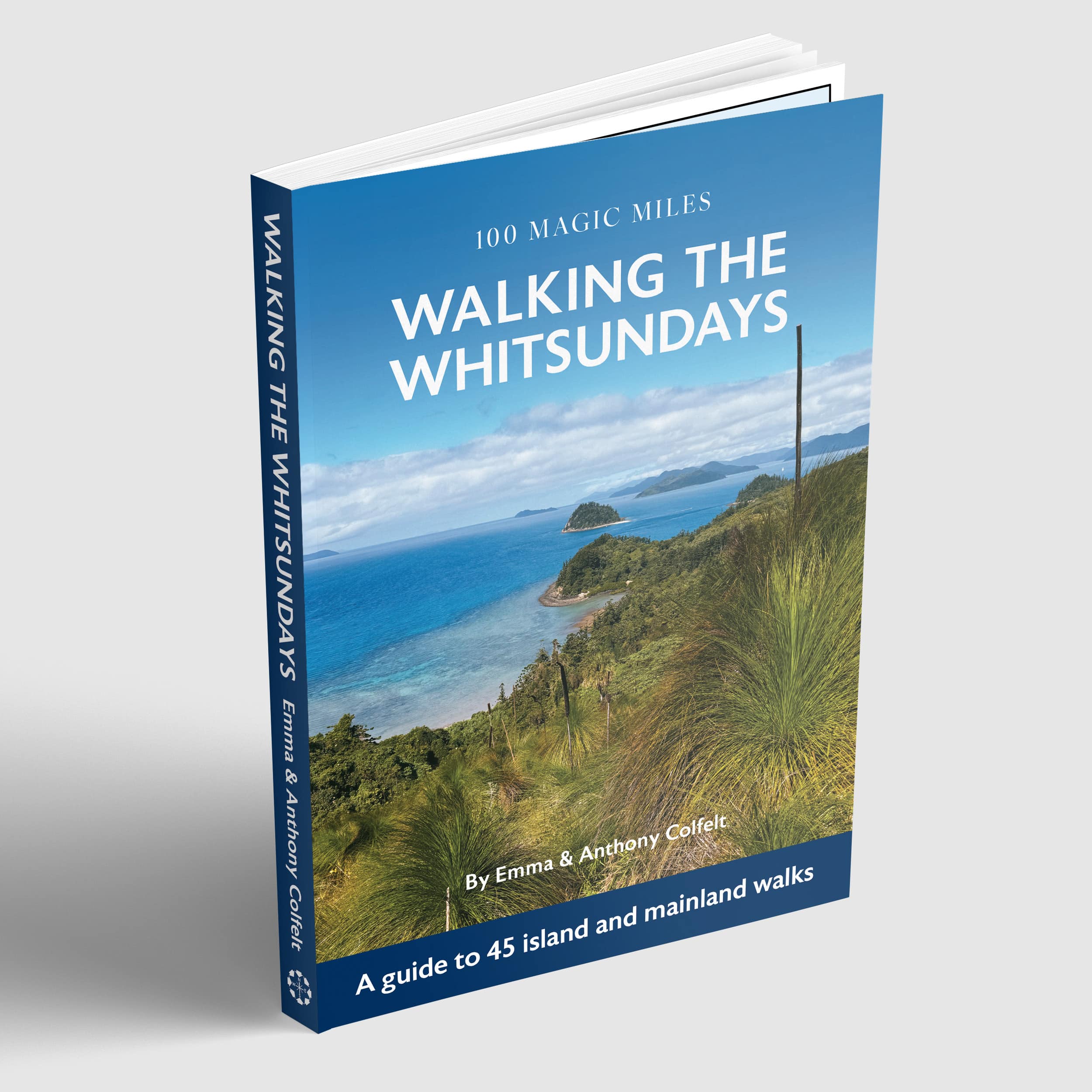
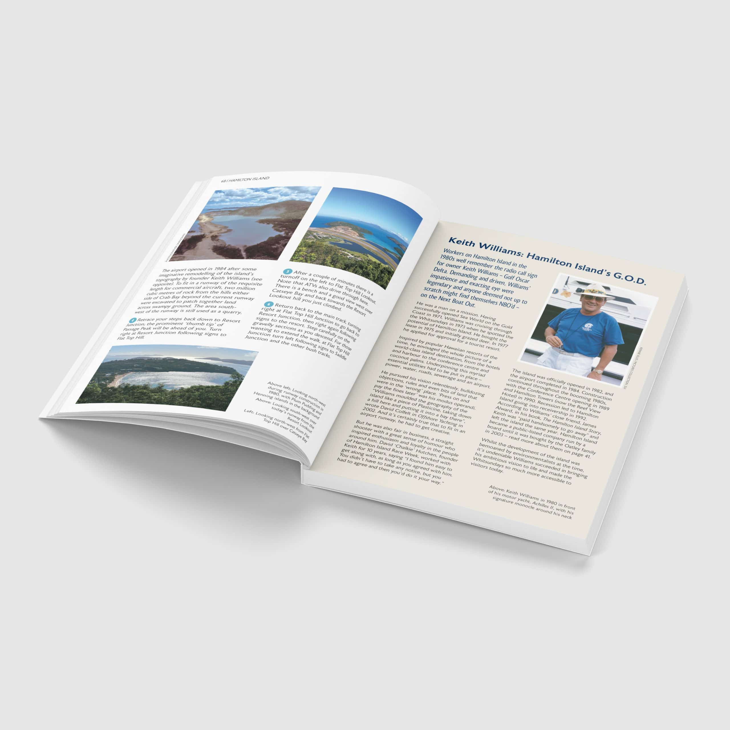
There are a fantastic range of walks across both the islands and the nearby mainland around Airlie Beach and Bowen. Check out our book, Walking The Whitsundays – A Guide to 45 Island and Mainland Walks to find out more.
What is the difference between the Ngaro Track and the Whitsunday Ngaro Sea Trail?
They are two different things.
- The Ngaro Track is the multi-day hike across Whitsunday Island. Named and co-designed by Ngaro people and Queensland Parks & Wildlife Service, it is the first multi-day hike in the Whitsunday islands. It opened in April 2026.
- The Whitsunday Ngaro Sea Trail is more of an itinerary of seaways between – and walks across – Whitsunday Island, South Molle Island and Hook Island. It was also created by Ngaro families and Queensland Parks & Wildlife Service and launched in 2010. The Ngaro people have often been called ‘Sea People’ or ‘Canoe People’. The Ngaro Sea Trail reflects this by giving boaters and kayakers a way to follow in their wake and explore three of the islands that were central to the Ngaro way of life for thousands of years.
Read more in our Ngaro Track series for detailed tips and insights
- Packing for the Ngaro Track – A Step By Step Guide
- Walking The Ngaro Track with Kids and Teens
- Ngaro Track Reviews – Hiker Highlights & Challenges – Coming Soon!